
Only at IONOS
$1
for 1 year
WordPress Hosting
Faster & more reliable
- 3x faster with SSD & caching
- Customizable auto updates
- Daily backups and easy recovery
Starting at $4/month

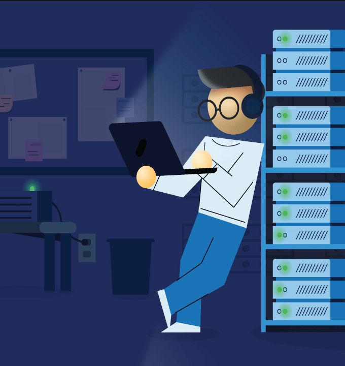
IONOS Cloud
Cloud IT without compromises
- Highly scalable
- Maximum performance
- Full data sovereignty
Real solutions for real web pros
That’s code for IONOS.


Your digital partner
 Sustainable data centers
- ISO-certified security
- Expert support

22,000,000
domains
6,100,000
customers
100,000
servers
4,300
employees
IONOS Group, 12/2023
Personal consultant
Your direct line to tailored support.

Support and coaching in one
From product setup to growing online, your personal consultant is here to help you succeed online.
Available via chat, email, phone
Reach your personal consultant by chat, email, or call them directly during standard business hours.
Backed by award-winning support
If you've got questions, IONOS tech support is also standing by 24/7.
Contact us
IONOS Cloud
Future-proof your IT infrastructure.


More ways to get online
Find everything you need, from domains to hosting.